- Select the target building(s) from the survey area
- Review and validate detected roof surfaces
- Fine-tune obstacle detection thresholds when needed
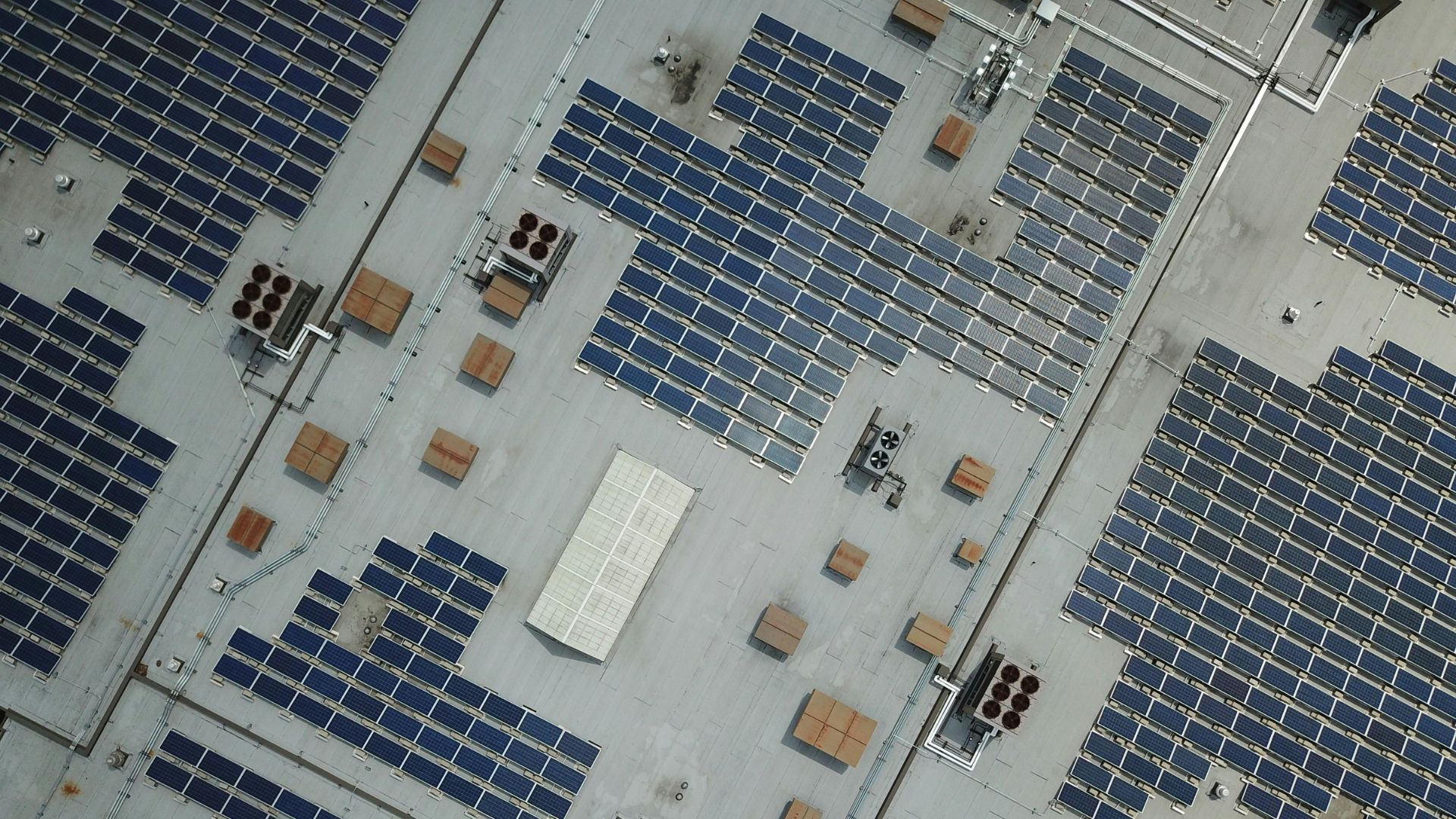
Convert drone survey data into accurate 3D building models automatically, eliminating the need for manual reconstruction and specialized modelling expertise.
Reduce model creation from days to minutes, enabling engineering teams to design more projects without increasing resources or waiting on others.
Generate industry-standard DWG files that can be used across a wide range of CAD and solar design workflows, while seamlessly integrating with Virto.CAD and Virto.MAX.
Upload common drone survey datasets and export design-ready models to Virto.CAD, Virto.MAX, or industry-standard DWG formats.
Inputs options
Outputs:
Generate accurate 3D models for buildings with complex roof structures, multiple elevations, and rooftop obstacles.
Design commercial and industrial rooftop solar projects with greater speed, accuracy, and confidence.
Plan and engineer utility scale solar projects with optimized layouts and construction-ready deliverables.
Design commercial solar carports from feasibility studies to construction-ready engineering.
Talk to our team to see how Virto fits your workflow.
No, you only need access to drone survey data.
No, drone surveys are provided by you or one of our survey partners.
Yes, DWG files are compatible with many CAD and design platforms.
Most projects can be processed in minutes rather than days or weeks.
Solar developers, EPCs, engineering teams, and drone survey providers.