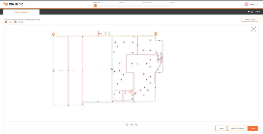
Use Google Maps and Image Underlay
You can select an underlay as the base for your drawing, either from Google Maps or by uploading your own (PNG, JPG, or PDF).
Use Google Maps and Image Underlay Read More »

You can select an underlay as the base for your drawing, either from Google Maps or by uploading your own (PNG, JPG, or PDF).
Use Google Maps and Image Underlay Read More »

You can customize reports with your logo, brand colors, and links, creating professional outputs that match your company identity.
Customize Branding & Report Read More »

You can create teams to collaborate with colleagues, where projects are automatically shared with all members for easy access and continuity, even during absences or handovers.…
Create Teams and Share Your Projects Read More »
We support both metric and imperial unit systems.
Offered in Metric and Imperial Read More »
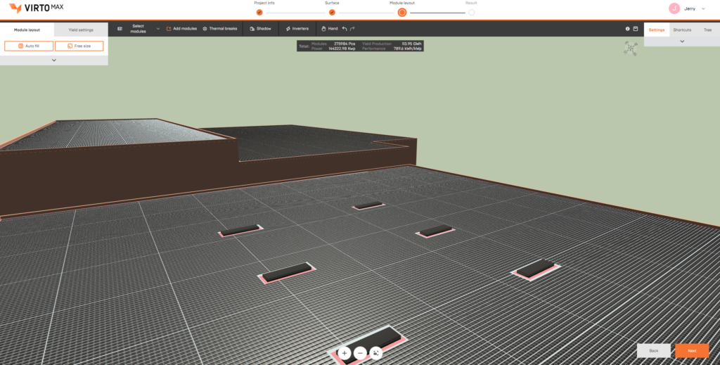
Virto.MAX supports large-scale PV layouts with over 150,000 panels across multiple buildings or surfaces, while maintaining stable performance.
Create Designs for Any PV Project Without Sizing Limitation Read More »

Work with standardized modules, inverters, and components to maintain consistency across large-scale projects.
Components Database Read More »

Set up inverters based on system layout to ensure reliable performance across large installations
Inverter Configuration Read More »
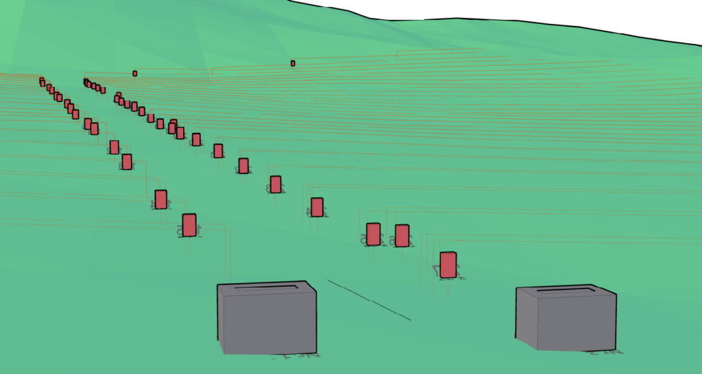
Map cable paths across the site, including trench planning and infrastructure alignment.
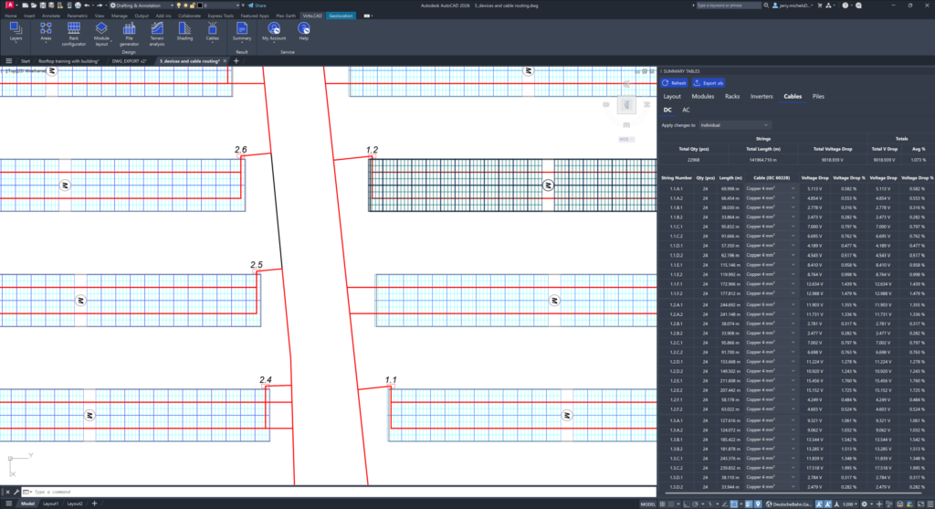
Ensure proper cable sizing and manage voltage drop across long-distance connections.
Cable Calculations Read More »
Produce complete project outputs, including simulation files, summaries, and material lists.
Exports & Overviews Read More »