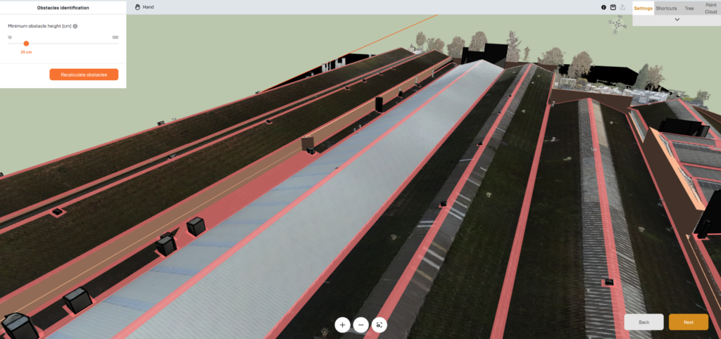
Built for complex rooftops
Generate accurate 3D models for buildings with complex roof structures, multiple elevations, and rooftop obstacles.
Built for complex rooftops Read More »

Generate accurate 3D models for buildings with complex roof structures, multiple elevations, and rooftop obstacles.
Built for complex rooftops Read More »
No, you only need access to drone survey data.
Do I need my own drone? Read More »
No, drone surveys are provided by you or one of our survey partners.
Can Virto.RISE perform drone surveys? Read More »
Yes, DWG files are compatible with many CAD and design platforms.
Can I use the output outside the Virto ecosystem? Read More »
Most projects can be processed in minutes rather than days or weeks.
How long does processing take? Read More »
Solar developers, EPCs, engineering teams, and drone survey providers.
Who is Virto.RISE designed for? Read More »
Virto.RISE generates highly accurate 3D models based on the quality of the source survey data, making them suitable for solar design, engineering, and project development workflows.
How accurate are the generated models? Read More »
Yes. Users can select and process one or multiple buildings from a surveyed area.
Can Virto.RISE process multiple buildings in a single survey? Read More »
For optimal results, surveys should provide complete roof coverage and sufficient point density. Virto can provide recommended survey specifications and best practices.
What survey quality is recommended? Read More »
